|
|
|
OVERVIEW
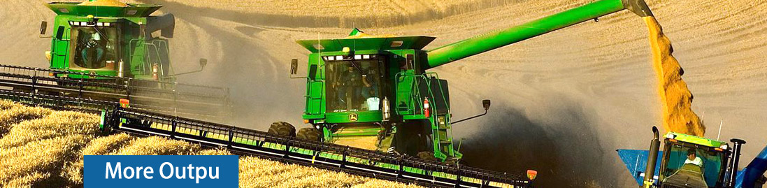
The starting point of a more precise and profitable farming operation is an accurate farm map, whatever size your farm. Our standard and web based farm mapping services offers you an affordable investment in your farm business and will enable you to:
Manage your land efficiently
Make profitable management decisions
Develop your property
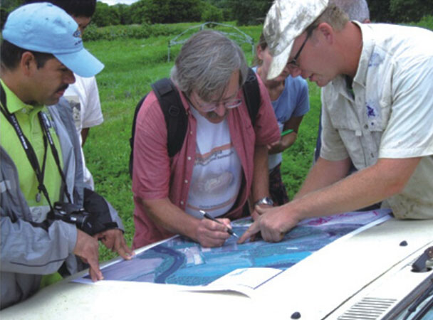
We will develop your farm maps based on affordable aerial photography. This give you a high resolution photo of your farm, and we would use this base map to digitize all your important farm features including your:
Farm boundary (calculate actual farm size)
Field boundaries (calculate actual field sizes)
Greenhouses
Water points/rivers/reservoirs
Roads
Building |
| |
 |
| |
Accurate farm maps help management tasks such as:
Day to day farm management planning
Estimation of input costs and income per hectare
Recording chemical and fertilizer application
Planning irrigation design
Giving directions to contractors, staff and visitors
Contractor negotiation on land prep/planting/harvest etc
Planning and recording stock movement
Estimating fencing costs
Complying with environmental (NEMA) regulation
Providing information to your rural banker, farm adviser etc
Valuation of the farm
Crop Insurance |
|
|
|